
3D Modeling & Photogrammetry Services
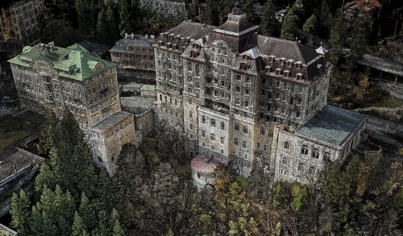
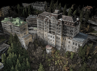
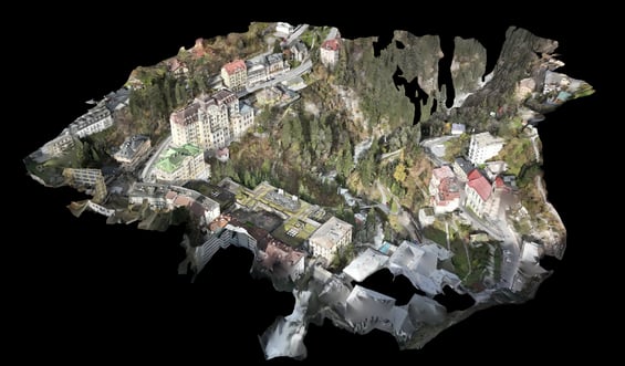
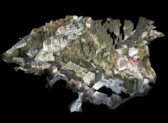
"Transform your site into a detailed 3D model with our photogrammetry services. Ideal for land surveying, construction projects, and structural studies, our high-resolution imagery enables accurate terrain mapping and structural analysis. Visualize your projects with precision and gain valuable insights into your site’s topography and features."
DEORC-AI
Innovative drone and GIS services for industries.
Contact
© 2025. All rights reserved.