NDVI Analysis and Height mapping
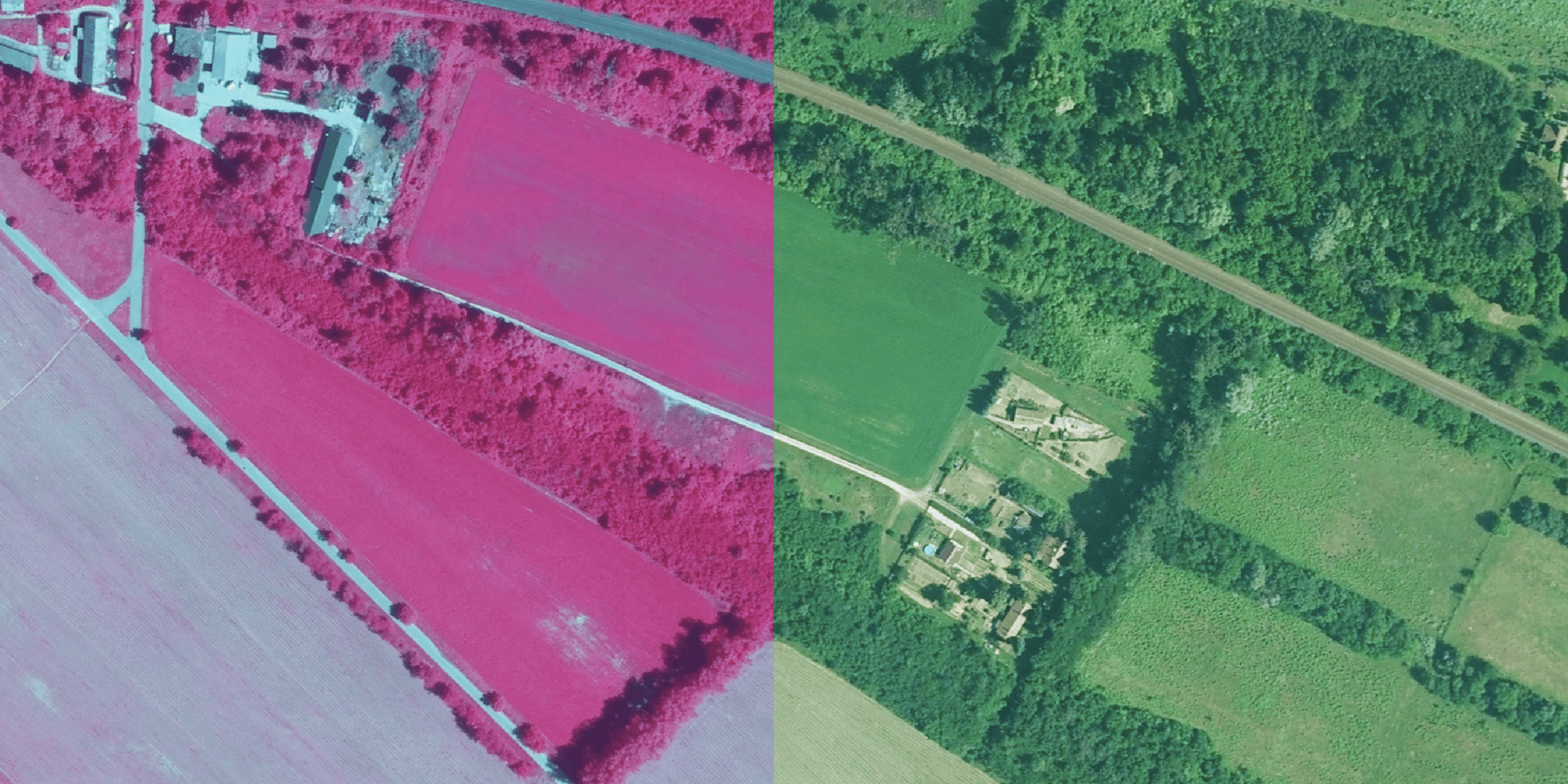
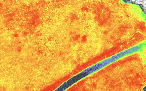
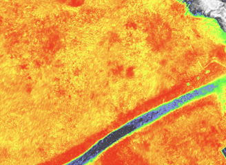
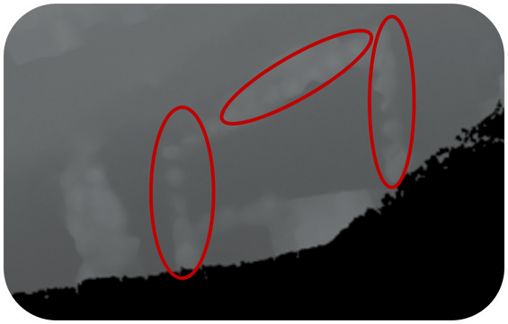
"Harness the power of our DJI Mavic 3M drone for advanced NDVI (Normalized Difference Vegetation Index) analysis. Our multispectral camera technology enables precise plant monitoring and data acquisition, empowering you to assess plant health, monitor growth conditions, and optimize watering practices. By analyzing vegetation vigor, we help you identify areas that need attention and maximize crop yields. Whether for archaeological sites, construction projects, or land development, our height maps ensure you have the precise data you need for successful project execution."
DEORC-AI
Innovative drone and GIS services for industries.
Contact
© 2025. All rights reserved.